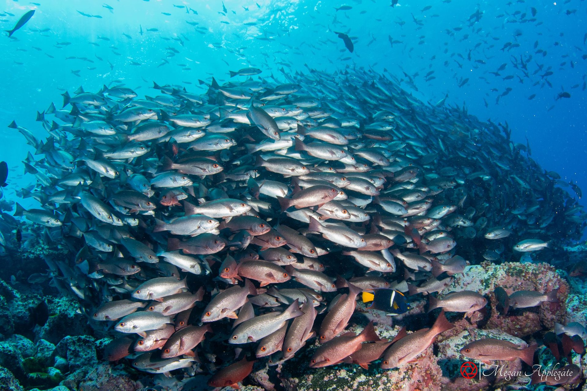
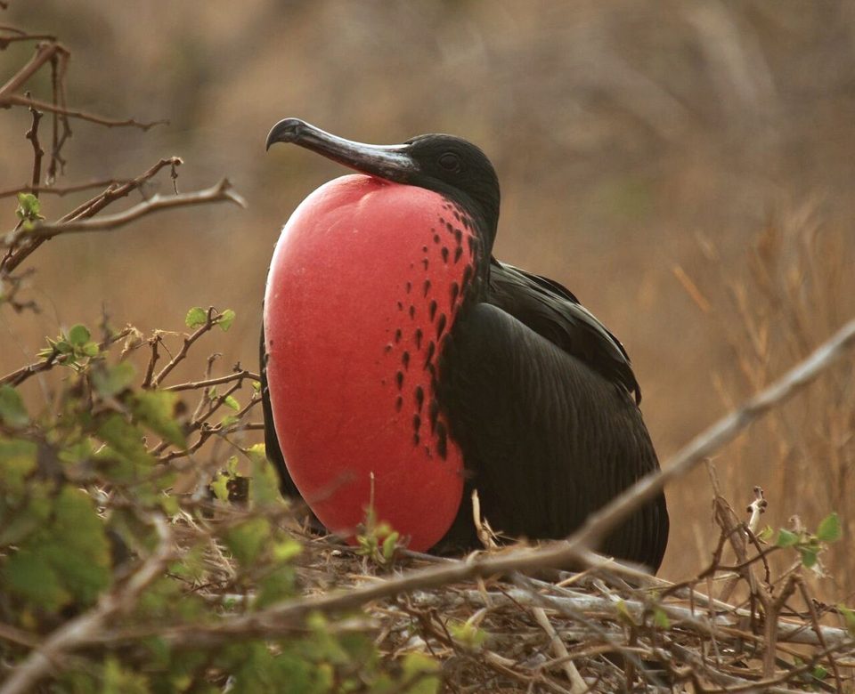
A field guide to the reef fish, sea lions and big animals, small creatures and birds of San Carlos and Isla San Pedro Nolasco, with where and when to look for each and links to go deeper.
200fish species on 531 REEF surveys at San Carlos (REEF)
Why San Carlos
San Carlos is a seaside town on the Sea of Cortez, within the municipality of Guaymas, Sonora (Wikipedia), about 20 km northwest of Guaymas and about two hours by road from Hermosillo (México Desconocido). Above the bay rises Cerro Tetakawi, about 200 m high, whose Yaqui name refers to its twin-peaked shape (México Desconocido). It became a Pueblo Mágico in 2023 (Visit Mexico), and the film Catch-22 was shot there (Wikipedia). US divers often drive down: San Carlos is about six hours from the border on Highway 15 (Wikipedia), and it lies inside the Sonora free zone, where no vehicle import permit is needed (BajaBound). The nearest airport is Guaymas (GYM) (AC-U-KWIK).
The headline dive is Isla San Pedro Nolasco, a steep island about 28 km offshore with a breeding colony of California sea lions (Wikipedia; IUCN World Heritage Outlook). The islands of the Gulf of California, Nolasco among them, are part of a World Heritage site inscribed in 2005, where IUCN rates overfishing and bycatch as very high threats (IUCN World Heritage Outlook). Closer to town are rocky reefs, islets with arches and the Ex-Santos, a navy ship sunk as an artificial reef in 2022 (Ikelite; Undercurrent); three dive shops run boats from San Carlos (Ikelite).
Location
Where the sites are
San Carlos on the Sonora coast and Isla San Pedro Nolasco, the sea lion island, about 28 km offshore.
Pick a month to see what is at its peak. San Carlos is dived all year, but the water changes a lot: monthly averages at Guaymas run from about 17 °C in February to about 31 °C in August and September (seatemperatu.re). Wikipedia gives surface averages of 29–32 °C from June to August and 17–22 °C from November to March (Wikipedia). Visibility is often over 30 m and can exceed 60 m at San Pedro Nolasco (Wikipedia). The eastern Pacific hurricane season runs from 15 May to 30 November (NOAA).
Peak May–Aug
Sea lion pups
In the Gulf, sea lion pups are born from late May, mostly in June, and the breeding season runs from June to August (Adame (IPN)); large numbers of pups can be seen at Nolasco in summer (Wikipedia). Bulls guard the rookeries then, so keep your distance (California Diver).
Peak Jun–Oct
Warm water
Monthly averages at Guaymas are 28–31 °C from June to October (seatemperatu.re). One dive magazine puts the peak dive season from late May through October (Scuba Diving).
Peak Aug–Nov
Hammerheads
Hammerheads are best from August to November, with schools at San Pedro Nolasco for experienced divers (PADI).
Peak Dec–Mar
Whales
Humpback, sperm and grey whales are seen mostly from December to March (PADI); the Gulf’s own fin whales are there all year, with more in winter and spring (IMMA; Wikipedia).
Peak Winter
Mobula rays
Mobula rays are seen in winter, and bullseye electric rays and banded guitarfish turn up now and then (PADI). The water is coolest then: about 17–19 °C on average from December to March (seatemperatu.re).
Six animals divers meet at San Carlos and San Pedro Nolasco, with the mark that gives each away. The species pages have the full notes and sources; the sea lion was photographed at San Carlos, the others elsewhere in the eastern Pacific.
Plate I
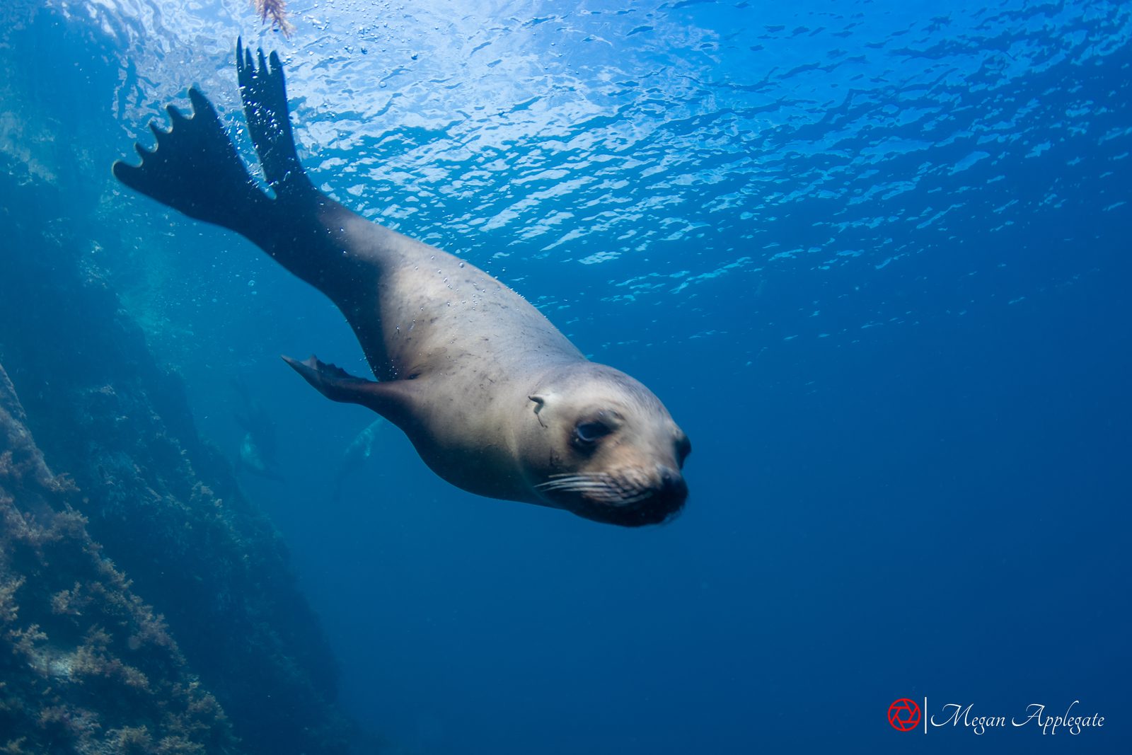
California sea lion
Zalophus californianus
Look for
Brown, with ear flaps and long front flippers; adult males have a high crest on the head.
At San Carlos
The breeding colony at San Pedro Nolasco; young ones play with divers.
Plate II
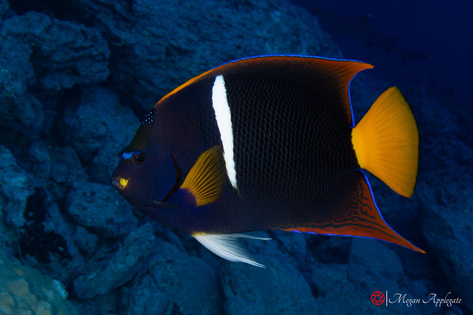
King angelfish
Holacanthus passer
Look for
Dark blue-grey with one white bar and a yellow tail.
At San Carlos
On almost every REEF survey at Nolasco and most at San Carlos.
Photo to come
Plate III
Cortez angelfish
Pomacanthus zonipectus
Look for
Grey with yellow, cream and black bars and a yellow tail.
At San Carlos
More often recorded at San Carlos than at Nolasco.
Plate IV
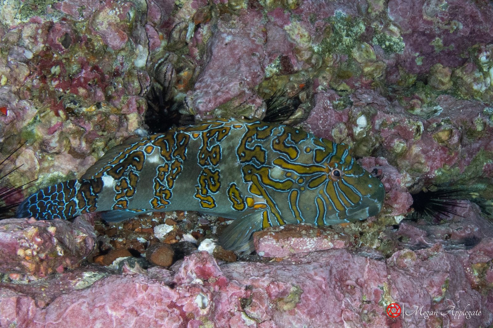
Giant hawkfish
Cirrhitus rivulatus
Look for
Four dark oblique bars edged in cobalt blue.
At San Carlos
Perched on rocks at Nolasco and around San Carlos.
Plate V
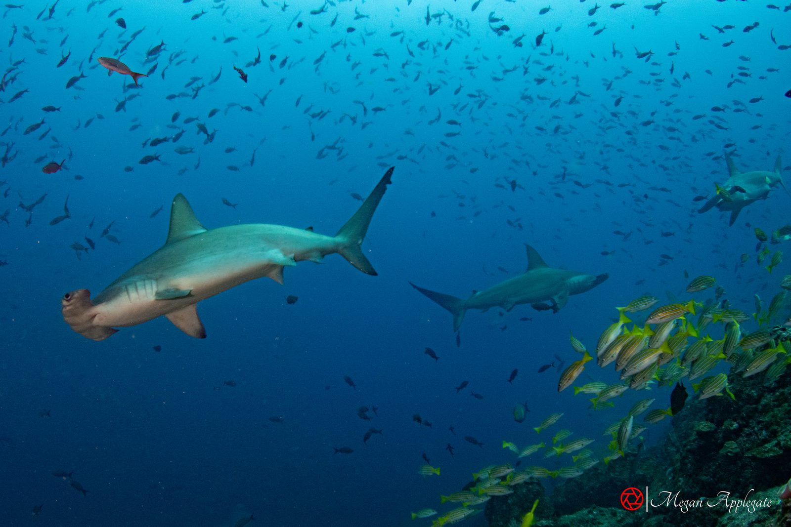
Scalloped hammerhead
Sphyrna lewini
Look for
A hammer-shaped head with a notch in the middle of its front edge.
At San Carlos
Schools at Nolasco from August to November.
Photo to come
Plate VI
Brown booby
Sula leucogaster
Look for
Dark brown above, sharply divided from a white belly.
From Wikipedia, dive magazines, dive shops and trip reports; some reports are several years old. Individual dives vary.
Isla San Pedro Nolasco
“Seal Island”: a steep island 4.2 km long and 328 m high, about 28 km west of San Carlos, 75–90 minutes by boat, with a sea lion colony and visibility that can exceed 60 m.
The former Mexican Navy minesweeper ARM Santos (ex-USS Gladiator), 67 m long, sunk as an artificial reef on 3 March 2022 off Punta Cautín. It sits upright on sand in about 16–20 m (sources differ), with the top 3–5 m down; Tropical Storm Kay broke off the bow in September 2022. It was the first ship of the SAAS artificial reef (see below). Going inside needs Advanced Open Water certification.
A 2010 report describes the tuna boat Albatun (about 55 m, in about 21 m) and the 100 m ferry Presidente Díaz Ordaz north of town. Their condition today is not known.
The Mexican Navy suspended diving at the Ex-Santos for a time after the sinking (SEMAR), and the bow was broken off by a storm later in 2022 (Ikelite); ask a local dive shop about current conditions. The Ex-Santos is marked by a yellow buoy that must not be used for mooring (SEMAR).
Photos
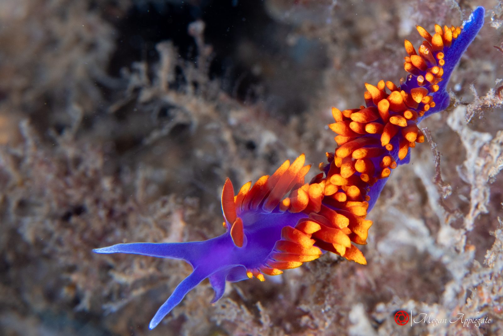
Photos marked “Megan Applegate” were taken at San Carlos in July 2024 (the sea lion, the jewel moray and the sea slugs) or show the same species at Malpelo, Cocos Island or Socorro, labelled with the place; the others are credited reference photos, and species without a photo show “Photo to come” or link to photos online.
Retired Mexican Navy ships sunk off San Carlos as new habitat and as wreck dives.
The Sistema Arrecifal Artificial Sonorense (SAAS, the Sonoran Artificial Reef System) is a project led by the Mexican Navy (SEMAR) with the government of Sonora, near Cerro Tetakawi in San Carlos (Vanguardia). It began in March 2022 with the sinking of the former minesweeper Santos (Vanguardia). By February 2026 it held four ships plus a helicopter, an airplane fuselage, an amphibious vehicle and three naval guns, ten structures of fifteen planned, and was described as more than 70% complete (Vanguardia). An underwater museum made up of six of the sunken naval artifacts, including the airplane and the helicopter, was inaugurated on 1 February 2026, the day the patrol vessel Cabo Corrientes was sunk with President Claudia Sheinbaum and Governor Alfonso Durazo present (Vanguardia; El Imparcial). The patrol vessel Mariscal followed on 11 July 2026 (La Crónica de Hoy).
The reef is already full of life: about nine thousand fish and at least ten invertebrate species have been identified there, among them sardines, oysters, grunts, octopus and snapper (Vanguardia; El Imparcial). A local dive shop reports morays, octopus, crustaceans, nudibranchs and occasional rays on the wrecks (Dive San Carlos).
Ships of the SAAS reef, in the order they were sunk. Sources differ on some sizes and depths, and both figures are given.
The wrecks lie at about 12–18 m (40–60 ft), within reach of recreational divers, and several are close enough together for two or three wrecks in a day; they are reached by boat from San Carlos, and the tops of the Santos and the Eltanin can be seen by snorkellers (Dive San Carlos). Going inside the Santos needs Advanced Open Water certification (Gary’s Dive Shop), and a wreck course is worth taking before any penetration.
More information
Every link opens in a new tab. Each species page cites its own sources as well.