Peak Feb–Jun
Spotted eagle rays
Seen all year, but best from February to June; Red Slave at the southern tip is the top site (bonaire.com).
Caribbean Netherlands · Leeward Antilles
A field guide to the reef fish, rays, small creatures, turtles, corals and birds of Bonaire, with where and when to look for each and links to go deeper.
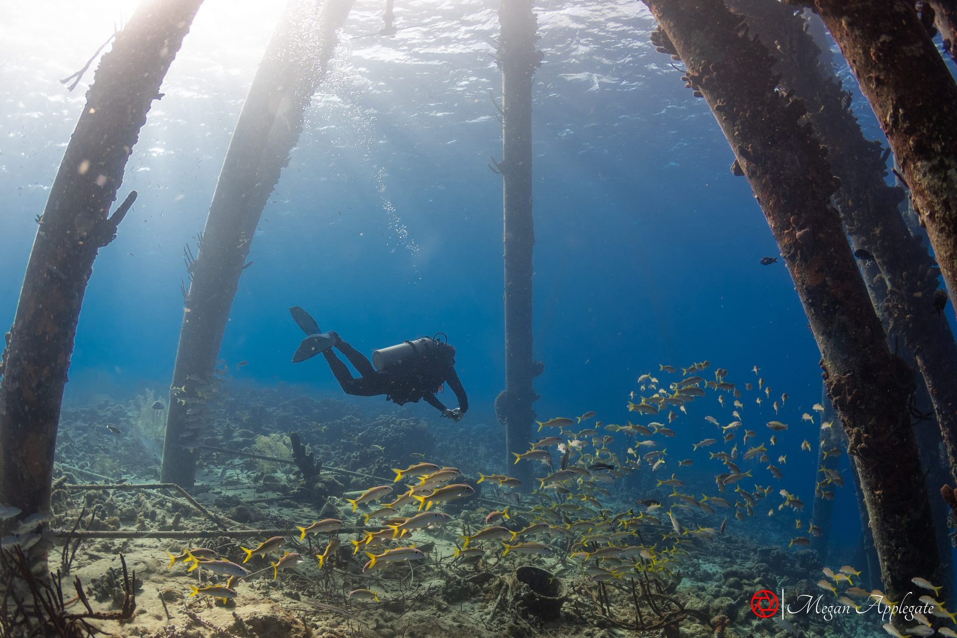
Photo Megan Applegate (Salt Pier, Bonaire)
Bonaire is a 288 km² island in the southern Caribbean, a special municipality of the Netherlands since 10 October 2010; its currency is the US dollar and its airport is Flamingo International (Wikipedia). A nearly continuous reef begins only metres from the west coast (Scuba Diving), and the whole reef has been protected as the Bonaire National Marine Park since 1979, from the high-water line to 60 m, managed by STINAPA (Wikipedia (Marine Park)). The government bought uninhabited Klein Bonaire in 1999 and added it to the park in 2001 (STINAPA), and Washington Slagbaai National Park, the first nature reserve of the former Netherlands Antilles, has protected the north of the island since 1969 (Wikipedia).
Bonaire is known as one of the world’s best shore-diving destinations, and its licence plates carry the words “Diver’s Paradise” (Wikipedia): sites are marked by yellow-painted stones along the coast road, and most are entered straight from shore (NBC News; Scuba Diving). Sources count 86 to 89 public dive sites (Wikipedia (Marine Park); Wikipedia). Every diver pays the yearly nature fee, US$40 per person since 2023 (bonaire.com), and makes an orientation dive on arrival; gloves and touching marine life are banned (STINAPA), and so is spearfishing (STINAPA).
Location
Every site on STINAPA’s dive-site map, with STINAPA’s numbers: 1–62 along Bonaire, A–Z round Klein Bonaire. Grey sites are closed.
Dive sites, as numbered by STINAPA
Bonaire
Klein Bonaire
The site map works offline and prints. Satellite is interactive: zoom and drag, and tap or hover a pin for its name (it needs an internet connection). Positions are approximate. Numbers follow STINAPA’s dive-site map. Sites 1–10 are closed because of coral disease (InfoBonaire 2022, 2023); closures change, so check with STINAPA or your dive shop. Positions: OpenStreetMap, and STINAPA’s map for the sites OpenStreetMap doesn’t have (11, 12, 14, 15, 19, 21, 24, 25, 39 and all of Klein Bonaire). Coastline © OpenStreetMap contributors.
Six field pages, with where and when to look for each species and links to go deeper.
Pick a month to see what is at its peak. Bonaire is dived all year. The water is about 26 °C in February and March and about 28 °C in September and October (bonaire.com); another source gives 26–30 °C (Wikipedia). Visibility is typically 15–30 m. The short rainy season runs from October to January, and February to June is driest (bonaire.com). Bonaire lies outside the main hurricane belt but is occasionally affected (Wikipedia; bonaire.com).
Seen all year, but best from February to June; Red Slave at the southern tip is the top site (bonaire.com).
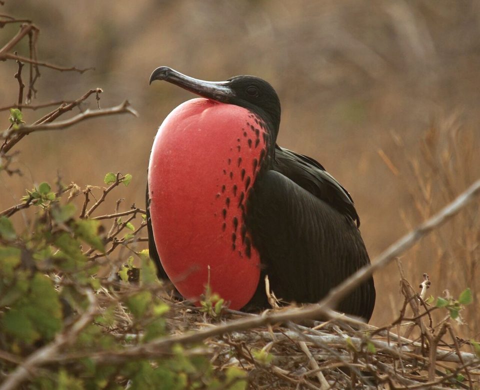
The main breeding season at Pekelmeer runs from March to mid-July, after courtship in December (bonaire.com).
Tarpon are on Bonaire’s reefs all year, most often from April to October, hunting by divers’ lights at night (bonaire.com).
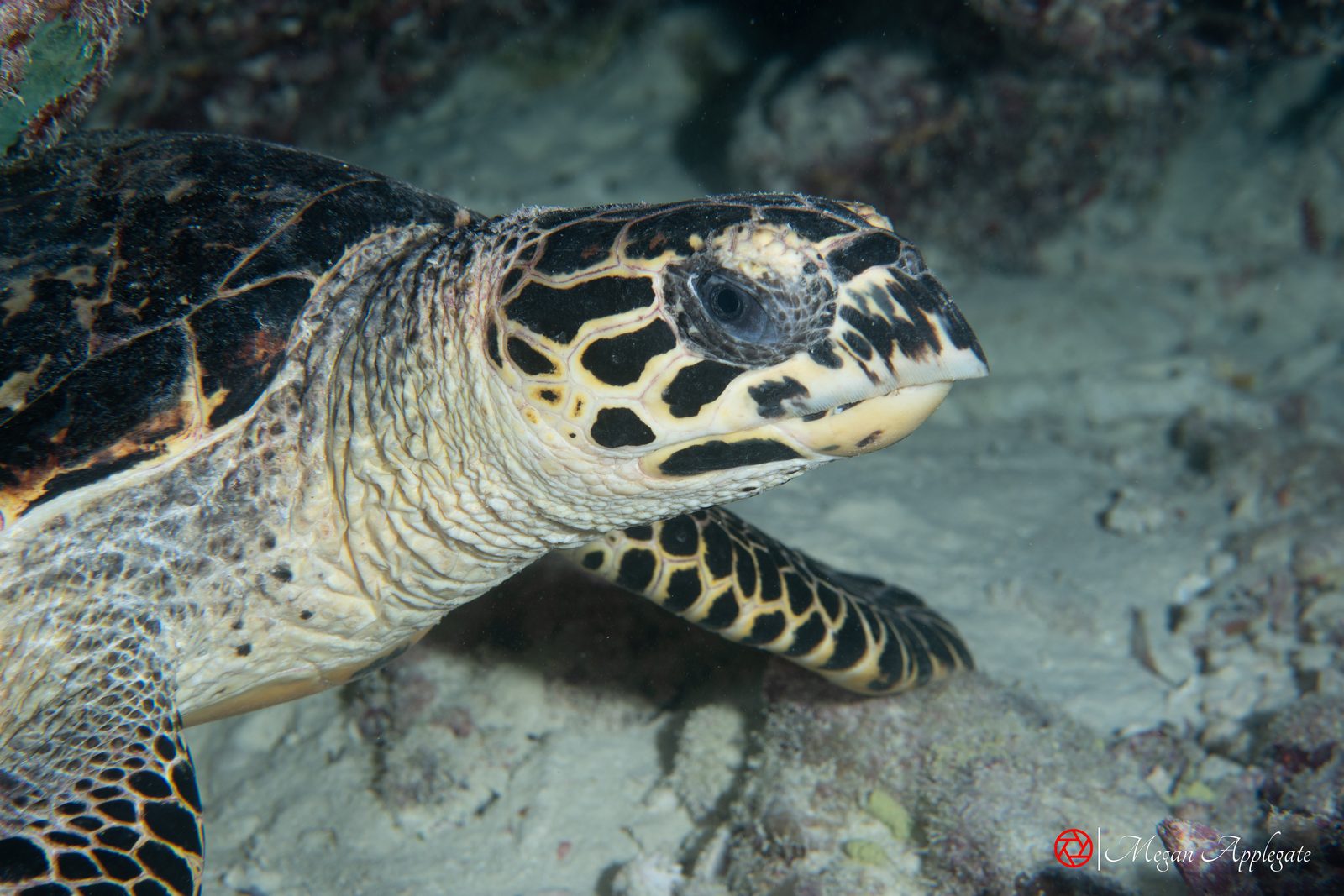
Green, hawksbill and loggerhead turtles nest from May to October, and hatchlings emerge until December or January (bonaire.com).
In 2026 the main windows are 29 July–7 August, 27 August–5 September and 26 September–5 October, in the evenings after the full moon (RRFB 2026 spawning calendar).
Humpbacks pass mainly from December to March, with a smaller window in April and May (bonaire.com).
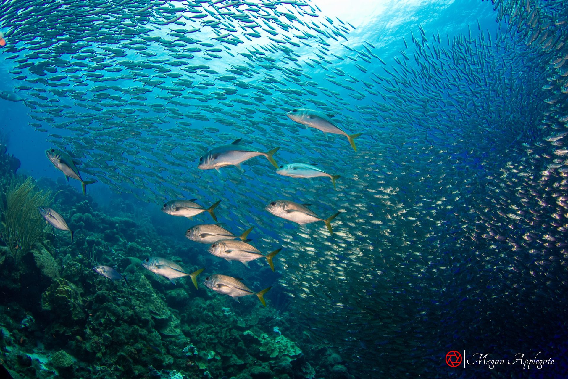
Background photo: Megan Applegate (bigeye scad, Bonaire)
Six animals divers and visitors meet on Bonaire, with the mark that gives each away. The species pages have the full notes and sources.
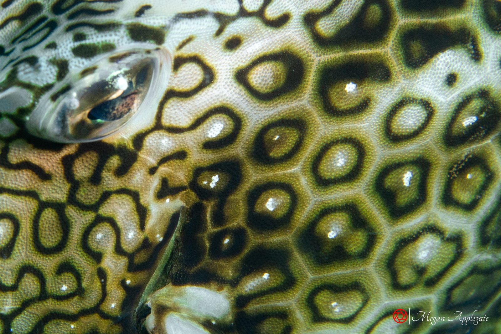
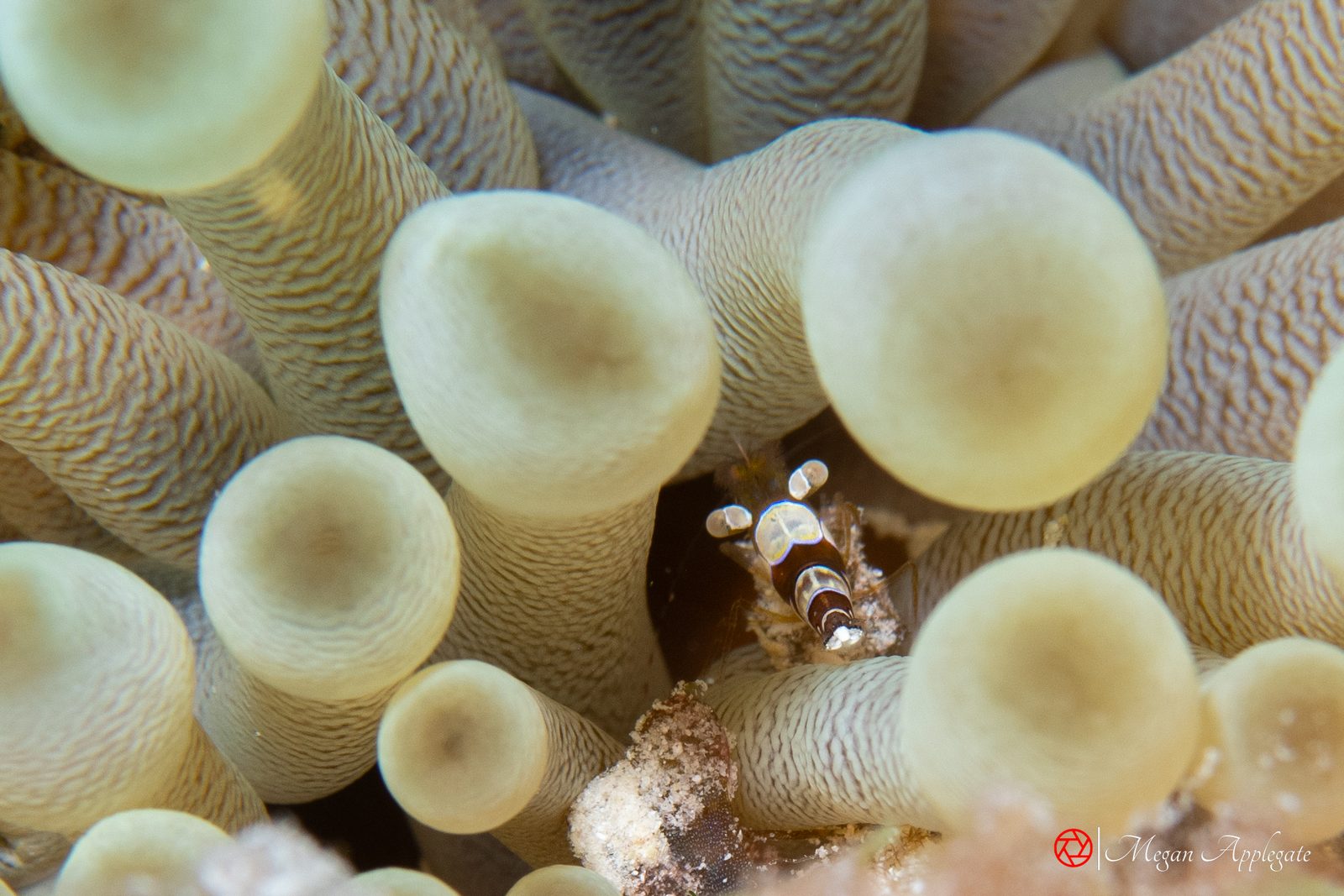
From STINAPA, bonaire.com, Scuba Diving and Wikipedia. Individual dives vary.
Concrete pilings covered in sponges and coral, with schooling fish, tarpon and barracuda, 3–30 m. Needs the harbour master’s permission and a guide.
Source: bonaire.com; Scuba DivingA shore dive at 9–30 m with more fish species recorded than any other single reef in the Caribbean in 2004.
Source: InfoBonaire; Scuba Diving 2004A freighter about 72 m long lying in about 30 m, sunk on 12 September 1984 after it was seized carrying 25,000 lb of marijuana.
Source: WikipediaA staircase down to a ledge and a reef slope from 3 to 40 m, with turtles and eagle rays.
Source: bonaire.comEnter by ladder or by jumping about 2.5 m; schools of barracuda; 6–25 m.
Source: bonaire.comA beginner-friendly plateau by the airport, leading to a wall from 18 m, with eagle rays and nurse sharks.
Source: bonaire.comAt the southern tip, by the 1850 slave huts: eagle rays, but strong, changeable currents; for advanced divers.
Source: bonaire.comThe uninhabited island 800 m offshore, dived by boat: No Name at 8–25 m, and Forest with black coral and orange elephant-ear sponges.
Source: STINAPA; bonaire.com; Scuba DivingRougher water, dived by inflatable boat on guided drift dives, with eagle rays, stingrays, turtles and green morays.
Source: bonaire.comClosed sites
Because of coral disease, Karpata and La Dania’s Leap were closed in July 2022 (InfoBonaire 2022), and from May 2023 all sites north of Karpata, including Washington Slagbaai, were closed (InfoBonaire 2023). Two marine reserves are closed to all diving (STINAPA). Closures change, so check with STINAPA or your dive shop.
Photos
Photos marked “Megan Applegate” were taken on Bonaire in December 2024, except a few species she photographed in Palau or at Socorro, which are labelled with the place. The others are credited reference photos, and species without a photo show “Photo to come” or link to photos online.
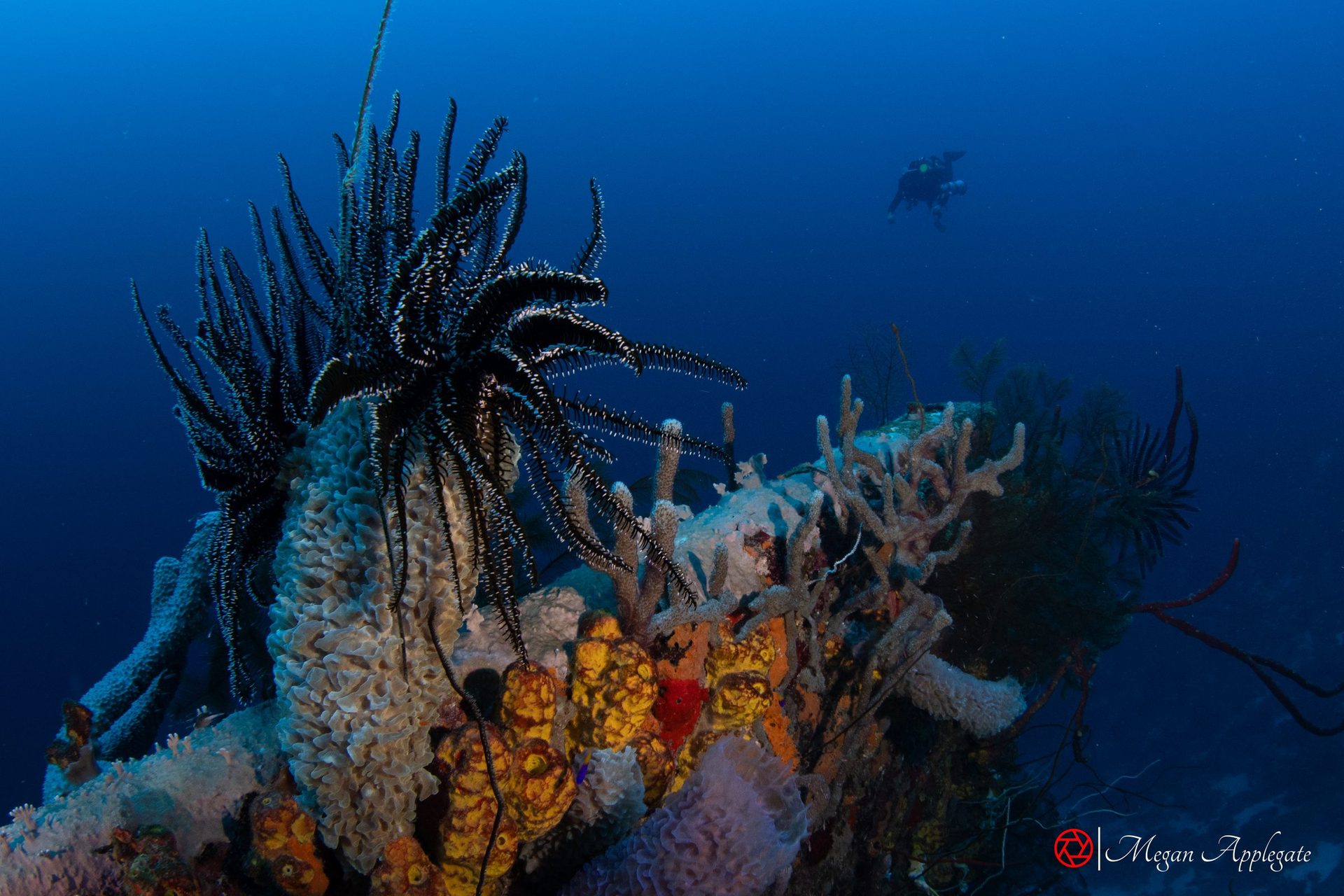
Background photo: Megan Applegate (Hilma Hooker, Bonaire)
Every link opens in a new tab. Each species page cites its own sources as well.