Peak Jan–May
Dry season
Sources agree the dry season starts in January, but end it in May, with June a transition month (Wikipedia), or in June (USGS; weather2travel).
Mariana Islands · Micronesia
A field guide to the reef fish, sharks, rays and turtles, small creatures and birds of Guam, with the wrecks of two world wars, where and when to look for each animal, and links to go deeper.
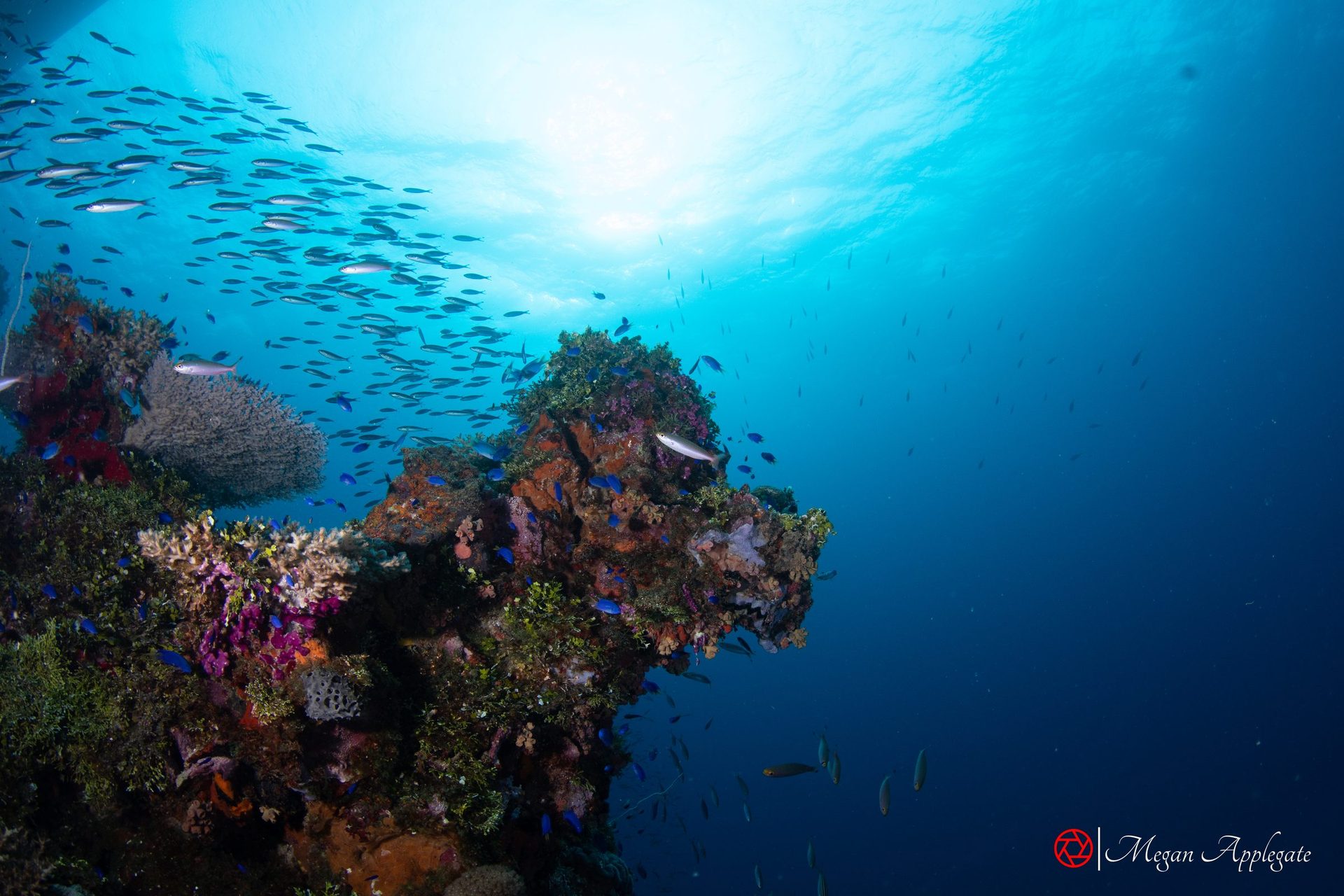
Photo Megan Applegate (Chuuk Lagoon, not Guam)
Guam is the southernmost and largest of the Mariana Islands, about 48 km long and 6–19 km wide, and a US territory; its capital is Hagåtña and its people, the CHamoru, are the island’s largest ethnic group (Wikipedia). Barrier reefs enclose two lagoons, Apra Harbor in the west and Cocos Lagoon in the south, and fringing reefs edge most of the rest of the island (Guampedia). Challenger Deep, the deepest known point in the ocean, lies about 304 km to the southwest (Wikipedia).
The Guam Visitors Bureau counts more than 150 dive sites, in two broad kinds: Apra Harbor, with its World War I and II wrecks and hard coral, and the outer reef, with drop-offs, coral heads and sand flats (Guam Visitors Bureau). Boat dives are the most common choice for visitors, but Guam is also known for its shore diving (Guam Visitors Bureau; Micronesian Divers Association). United Airlines has a hub at the international airport, with flights to Honolulu, Japan, Manila, Taipei and the islands of Micronesia (Wikipedia). Most visitors need the Guam Electronic Declaration Form, and visa-waiver travellers an electronic travel authorization (Guam Visitors Bureau).
Location
Guam is about 48 km long. Most diving is on the sheltered west coast: Tumon Bay, Piti, Apra Harbor and the Orote Peninsula, Agat and the south.
Dive sites, from north to south
The site map works offline and prints. Satellite is interactive: zoom and drag, and tap or hover a pin for its name (it needs an internet connection). Positions are approximate. Blue Hole, the Crevice, Gab Gab, the American Tanker, the Kitsugawa Maru, Double Reef, 11-Mile Reef, Napoleon Cut and the other sites have no published position, so they have no pin; the Tokai Maru and the Cormoran touch, so they share one pin. Positions: Wikipedia. Coastline © OpenStreetMap contributors.
Four field pages, with where and when to look for each species and links to go deeper.
Pick a month to see what is at its peak. Guam is dived all year, and the water stays warm: monthly averages run from about 28 °C in February to about 29.5 °C in August (cabaigne.net); the Guam Visitors Bureau gives 28–30 °C (82–86 °F) all year (Guam Visitors Bureau). Visibility can reach about 45 m (150 ft) on the outer reefs (Guam Visitors Bureau), but is often 8–12 m (25–40 ft) on the Apra Harbor wrecks (DeeperBlue).
Sources agree the dry season starts in January, but end it in May, with June a transition month (Wikipedia), or in June (USGS; weather2travel).
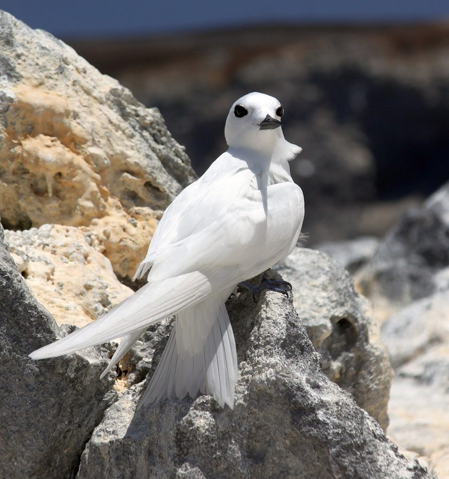
Black noddies arrive from March to May to nest on Cocos Island and around the Merizo bell tower (UOG Sea Grant).
The wet season runs from July to November (Wikipedia), or July to December (USGS); rain peaks in August (weather2travel). The water is warmest then, about 29–29.5 °C on average (cabaigne.net).
Background photo: Megan Applegate (jacks, Palau)
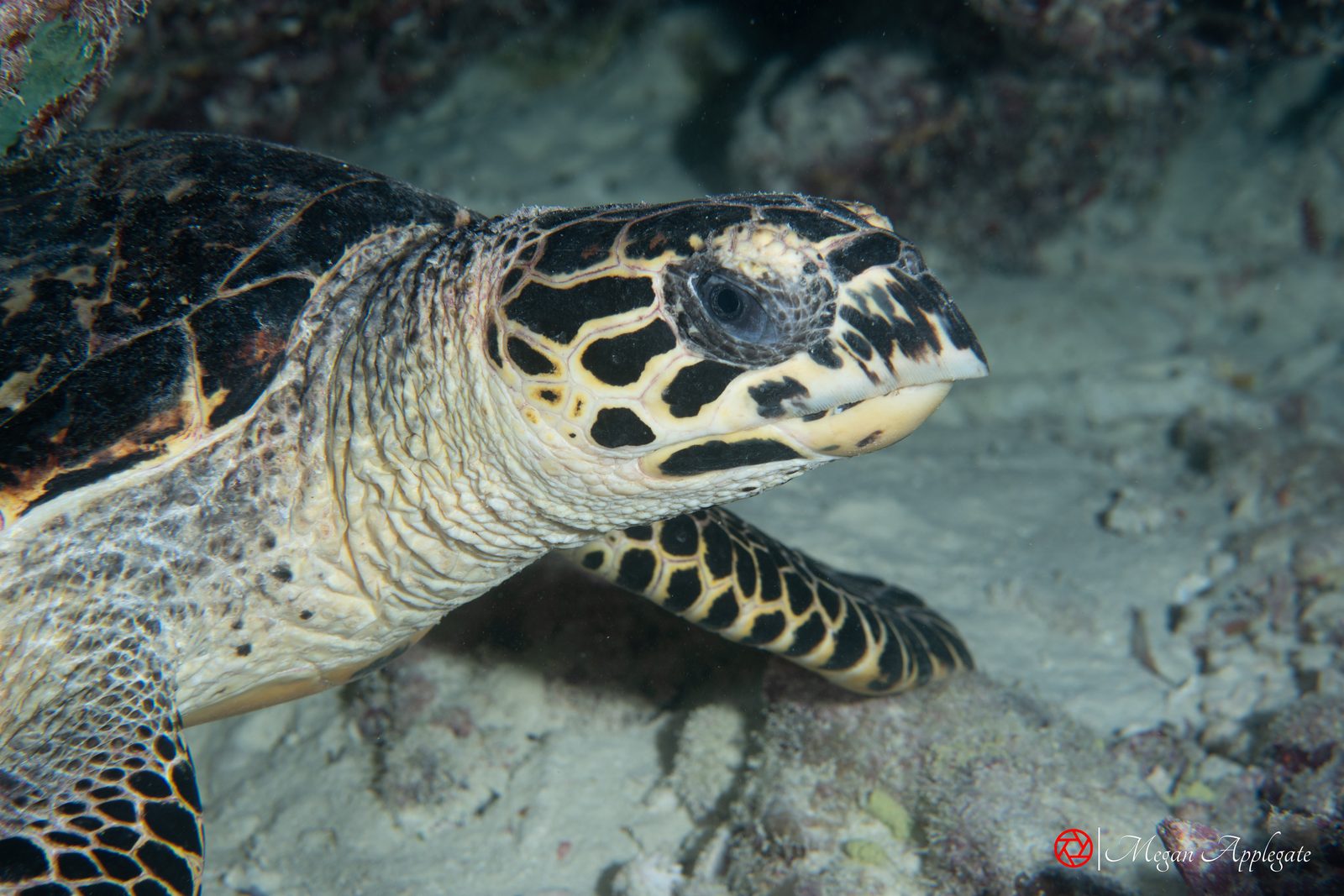
Six animals divers meet on Guam, with the mark that gives each away. The species pages have the full notes and sources; each plate says where its photo was taken.
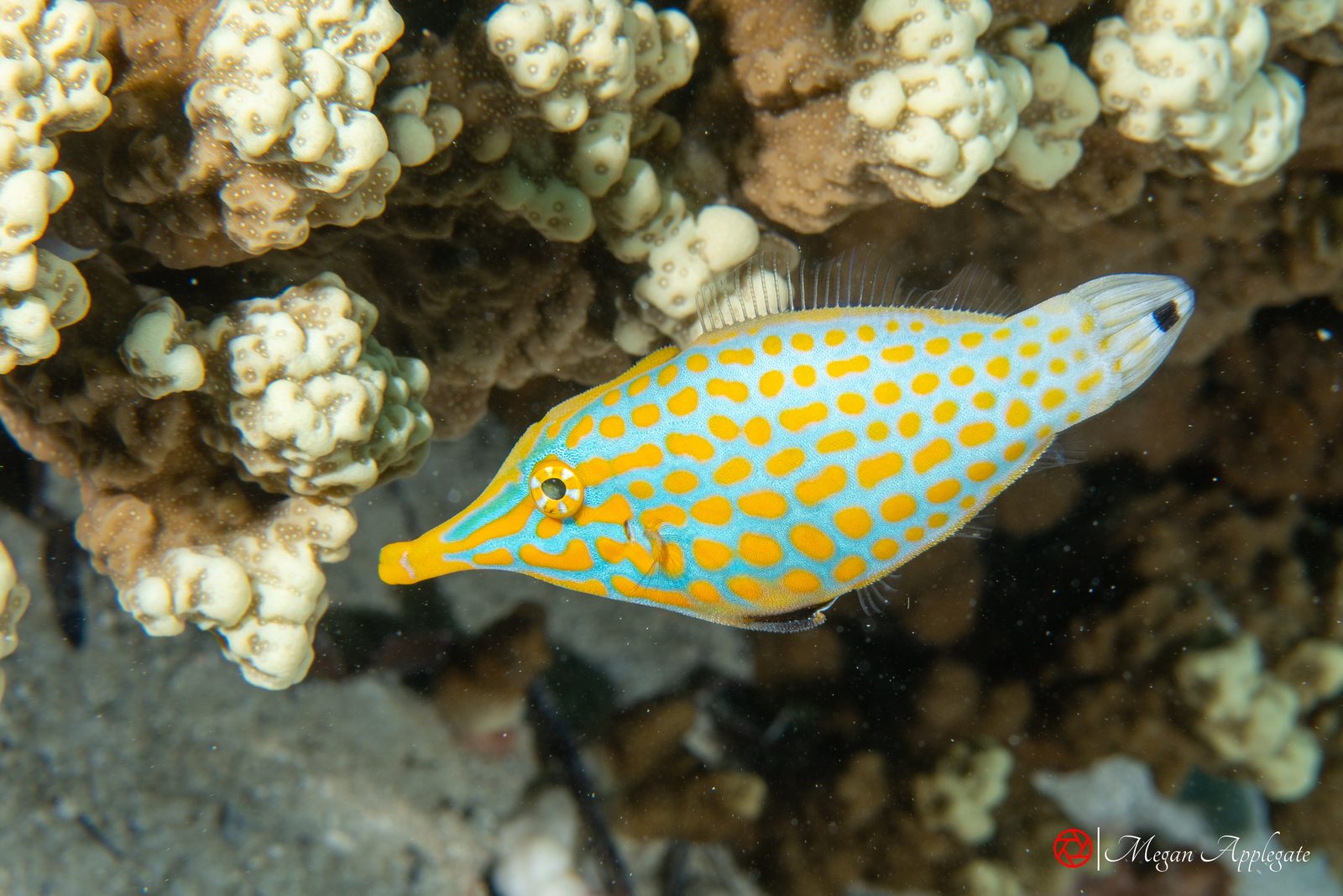
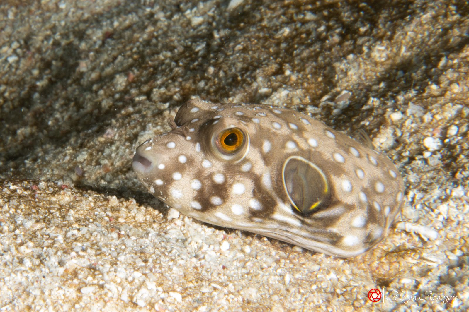
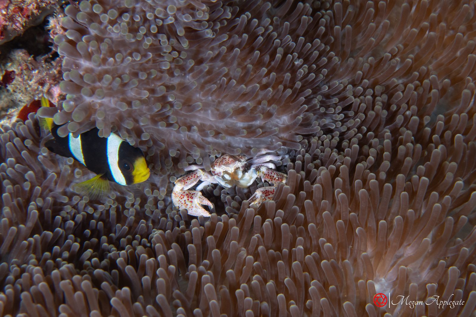
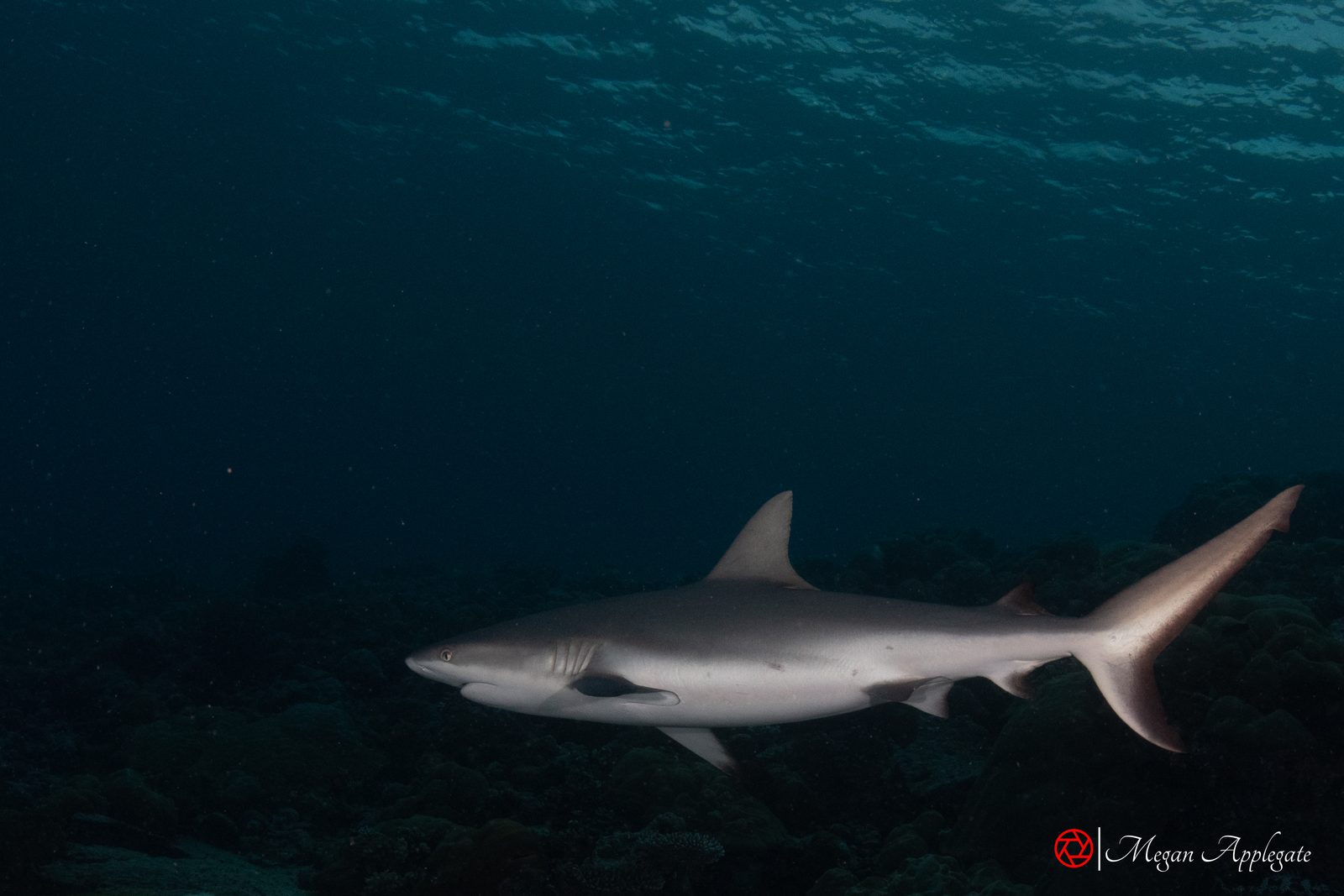
From the Guam Visitors Bureau, dive guides, dive magazines and Wikipedia; sources often differ on depths, and some reports are several years old. Individual dives vary.
A heart-shaped opening at about 18 m (60 ft) in the reef off the Orote Peninsula drops through a shaft to a window on the wall at about 38 m (125 ft). Visibility is often over 30 m (100 ft); currents can be strong, especially later in the day. Blacktip reef sharks, turtles and morays, and now and then eagle rays, whale sharks and pilot whales. The shaft is for experienced deep divers; the plateau around it suits everyone.
Source: Guam Dive Guide; Guam Visitors Bureau; Visit GuamA large triangular cleft in the Orote cliffs just south of Blue Hole, starting at about 18–21 m (60–70 ft): sea fans, morays, barracuda, sharks, tuna and dolphins. Boat only; best from April to December.
Source: Guam Visitors BureauA post-war US Navy dump of tanks, trucks and landing craft, with live ammunition: look, don’t touch. Sharks were once common here but are now rare.
Source: Guam Visitors BureauGentle harbor reefs with resident green turtles, anemones and clownfish. At Gab Gab II fish are fed daily for a tourist submarine, so giant trevally, hawksbills and nurse sharks gather. Shore entry is through Naval Base Guam, which needs a military ID or a sponsor; visitors without access come by boat.
Source: Guam Visitors Bureau; Scuba Diving; Tim Rock, DivePhotoGuideEasy, shallow dives for all levels: staghorn coral and thousands of small fish at Western Shoals, and a WWII concrete barge sitting upright in the sand, used for training.
Source: Guam Dive Guide; Guam Dive GuideA marine preserve of natural sinkholes 7.6–9.1 m (25–30 ft) deep, named for looking like bomb craters, with an underwater observatory in the largest hole. Turtles, blacktips, eagle rays, marbled rays and pink whiprays.
Source: Wikipedia; Tim Rock, DivePhotoGuideCalled the best shore dive on Guam: a cut through the reef at about 4.5 m (15 ft), then a slope with turtles and mantas. Strong currents are typical; avoid tide changes. Tumon Bay itself is a shallow, calm preserve for snorkellers and beginners.
Source: Wikipedia; Guam Dive Guide; Tim Rock, DivePhotoGuide; Visit GuamA favourite beginner reef at about 14 m (45 ft) inside the War in the Pacific National Historical Park, with lionfish, squirrelfish, anemones and clownfish. Nearby an LVT-4 amphibious tractor from the 1944 landings lies at about 15 m (50 ft).
Source: Guam Visitors Bureau; US National Park Service; WikipediaAn offshore bank at about 23–37 m (75–120 ft) with very strong currents, for advanced divers with reef hooks: sharks, barracuda, rays and turtles, and pilot whales and spinner dolphins on the ride out.
Source: Guam Visitors Bureau; Guam Dive GuideBefore you go
The recompression chamber at Naval Base Guam is the only one on the island that can treat serious cases of decompression sickness; local hospitals can’t (Guam Daily Post). The Navy continues to treat civilian divers in emergencies (Guam Daily Post). In an emergency, call 911 (Guam Visitors Bureau).
Discarded munitions lie on the seabed near Camel Rock, off Asan; some have broken open, exposing phosphorus that ignites in air (US National Park Service). Shark’s Pit also holds live ammunition (Guam Visitors Bureau). Never touch or pick up old ordnance.
Photos
Photos marked “Megan Applegate” were taken at Guam in December 2022 (fish and macro) or show the same species in Palau, the Solomon Islands, Malpelo, Cocos Island or Socorro, labelled with the place; the others are credited reference photos, and species without a photo show “Photo to come” or link to photos online.
Background photo: Megan Applegate (wreck, Solomon Islands)
The wrecks of Apra Harbor, and one on the east coast.
In Apra Harbor the German raider SMS Cormoran, scuttled in 1917, and the Japanese freighter Tokai Maru, sunk in 1943, lie touching each other; the Guam Visitors Bureau calls it the only known site where wrecks from two different countries and two different wars nearly touch (Guam Visitors Bureau). More than 1,000 divers visit the pair each year (Wikipedia). Both are deep dives for Advanced Open Water divers, and nitrox is recommended (Scuba Diving); going inside needs wreck training (Guam Dive Guide).
The harbor also holds a Japanese “Val” dive bomber, a post-war dump of bulldozers and tugs called the Seabee Junkyard, and a motorcycle believed to be a 1944 Harley-Davidson (Dive Pacific; Micronesian Divers Association).
| Wreck | History | Depth | Sources |
|---|---|---|---|
| SMS Cormoran | Built in 1909 as the Russian Rjasan, captured by Germany and armed as a raider, then interned at Guam. Her crew scuttled her on 7 April 1917, when the United States entered World War I. Listed on the US National Register of Historic Places in 1975. | About 34 m (110 ft); sources give 24–40 m (80–130 ft). Lies on her side. | Wikipedia; Guam Dive Guide; US National Park Service; Wikipedia (NRHP) |
| Tokai Maru | A Japanese passenger-cargo ship built in 1930, damaged by the submarine USS Flying Fish in January 1943 and sunk by USS Snapper on 27 August 1943. She lies on her port side on a steep slope, and her stern touches the Cormoran. Listed on the National Register in 1988. | From about 12 m (40 ft) at the wheelhouse to about 37 m (120 ft). | Wikipedia; Scuba Diving; DeeperBlue |
| Kitsugawa Maru (Kizugawa Maru) | Launched in 1941, torpedoed by USS Seahorse on 8 April 1944 and towed into Apra Harbor, then scuttled on 27 June 1944. She sits upright. In October 2023 an anchor strike destroyed her bridge, toppled the mast and broke the bow gun. | Mast top about 18 m (60 ft), bow gun about 30 m (100 ft), bottom about 43 m (140 ft). | Wikipedia; Pacific Island Times |
| American Tanker | A WWII concrete barge that carried war materials from the United States and was later sunk as part of the Glass Breakwater. It sits upright on sand; a good training dive. | About 14–34 m (45–110 ft). | Guam Dive Guide |
| Aratama Maru | A Japanese wreck in Talofofo Bay on the east coast, listed on the National Register in 1988. | Visibility is often poor, about 4.5–6 m (15–20 ft). | Wikipedia (NRHP); US National Park Service |
Depth and ordnance
A thorough exploration of the Cormoran needs a decompression schedule for 37 m (120 ft) (US National Park Service). Unexploded ordnance has been removed from the Tokai Maru, but more may remain in the area (DeeperBlue).
Five marine preserves, a national park and what has happened to the coral.
Guam’s five marine preserves were created by law in 1997, and their rules have been enforced since 2001 (Guam Visitors Bureau; NOAA (Burdick et al.)). Inside them, netting, spearfishing, shell collecting and taking sand or rocks are banned, with a few exceptions for traditional shore fishing (Guam Administrative Rules (FAOLEX)). The War in the Pacific National Historical Park, set up in 1978, protects more than 1,000 acres of reef off Asan and Agat as well as the 1944 landing beaches (Wikipedia; US National Park Service).
Between 2013 and 2017 repeated bleaching killed more than a third of Guam’s coral reefs, up to 60% of the coral on the shallow slopes of the east coast; the University of Guam calls it the largest known coral die-off on a US territory (University of Guam). Crown-of-thorns starfish outbreaks have struck again and again since the 1970s, and the University of Guam has run a project on them since 2022 (NOAA (Burdick et al.); University of Guam). The government’s Coral Reef Initiative leads the response, with a coral bleaching alert network and a reef-safe tourism strategy (Guam Bureau of Statistics & Plans).
| Preserve | Area | Where |
|---|---|---|
| Tumon Bay | 4.54 km² | North-west coast, the Tumon tourist district |
| Piti Bomb Holes | 3.64 km² | Piti Bay, west coast |
| Sasa Bay | 3.12 km² | Apra Harbor, between the port and Polaris Point |
| Achang Reef Flat | 4.63 km² | Merizo, the southern tip |
| Pati Point | 19.99 km² | North-east, on Andersen Air Force Base (access restricted) |
How to dive here gently
Piti’s busiest corner may see 50–200 dives a day, far more than the reef can take without damage (Wikipedia). Keep off the bottom, don’t touch coral, and don’t collect shells inside the preserves (Guam Administrative Rules (FAOLEX)).
Every link opens in a new tab. Each species page cites its own sources as well.