Peak Mar–May, Aug–Dec
Reef mantas
Mantas are most reliable from March to May and August to December (Dive The World), at Devil’s Highway in the Florida Islands and the cleaning stations of Marovo (Dive The World; ISRA Charapoana Passage).
Florida Islands · Russell Islands · Marovo Lagoon
A field guide to the wrecks, sharks, rays, fish, small creatures and birds of the Solomon Islands, from Iron Bottom Sound to Marovo Lagoon, with where and when to look for each and links to go deeper.
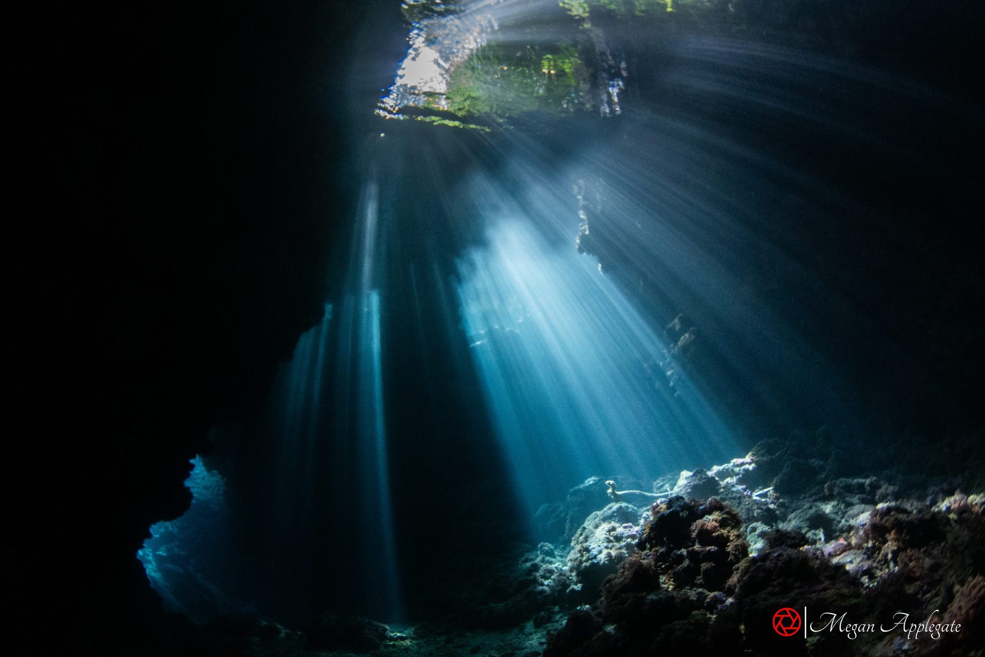
Photo Megan Applegate (Leru Cut, Russell Islands)
The Solomon Islands are six major islands and hundreds of smaller ones east of New Guinea; sources give 992 or more than 1,000 small islands (Wikipedia). They sit in the Coral Triangle, and in the Marovo–Tetepare area alone a 2004 survey found 1,019 fish species (UNESCO Tentative List). Marovo Lagoon, 700 km² in the New Georgia Islands, is the world’s largest double-barrier enclosed lagoon (Wikipedia), and is on UNESCO’s Tentative List as part of the Marovo–Tetepare Complex (UNESCO Tentative List).
This guide covers three areas. Iron Bottom Sound and the Florida Islands (Nggela), just north of Guadalcanal, hold the wrecks of the 1942–43 Guadalcanal campaign (Wikipedia; Wikipedia). The Russell Islands, about 48 km northwest of Guadalcanal, were a US base from 1943 (Wikipedia) and are known for caverns like Leru Cut and the dumped equipment at White Beach (PADI). Marovo has the reef sharks and manta cleaning stations of its passes (ISRA Charapoana Passage; ISRA Gatokae).
Where the areas in this guide are, and what each is known for. The guide covers Iron Bottom Sound and the Florida Islands, the Russell Islands, Mary Island and Marovo Lagoon.
The largest island, with the capital, Honiara (Wikipedia), where Allied forces landed on 7 August 1942 (Wikipedia). Along its north coast: the Bonegi transports you walk to from the beach, the B-17 “Bessie the Jap Basher” and the submarine I-1 off Kamimbo Bay (Pacific Wrecks; Emperor Divers; Pacific Wrecks).
In this guide: Wrecks
The water between Guadalcanal, the Florida Islands and Savo, named by Allied sailors for the ships and planes that sank there (Wikipedia): 53 ships went down in the Guadalcanal campaign (Pacific Wrecks). Most lie far below diving depth. On Savo, Melanesian megapodes seem to lay eggs all year (Wikipedia).
Just north of Guadalcanal. Tulagi, once the British administrative centre, is now the capital of Central Province (Wikipedia). The Mavis flying boats, the Catalina, HMNZS Moa and USS Kanawha lie around it (Pacific Wrecks; Indo Pacific Images; Pacific Wrecks; Pacific Wrecks); Twin Tunnels has lava tubes and grey reef sharks, and Devil’s Highway a manta colony (Dive The World).
In this guide: Wrecks · Sharks & Rays
Pavuvu, Mbanika and smaller volcanic islets about 48 km northwest of Guadalcanal; the US Navy built a base here in 1943 (Wikipedia). Known for Leru Cut, a canyon that runs into the middle of an island; Mirror Pond, a cave into a jungle pool with archerfish; and White Beach, where wartime trucks and jeeps were pushed off the jetty (PADI; Indo Pacific Images). Saltwater crocodiles are reported in the ponds (DAN Alert Diver).
A small island about 65 km southeast of Nggatokae (UNESCO Tentative List). Barracuda Point, Jack Point and Ben’s Point are known for schools of barracuda and bigeye jacks, bumphead parrotfish, sharks and turtles (Dive The World); flame angelfish and red-spotted blennies are reported in the shallows (DAN Alert Diver).
In this guide: Fish
A 700 km² lagoon between Vangunu and Nggatokae, protected by a double barrier reef: the largest double-barrier enclosed lagoon in the world (Wikipedia). Grey reef sharks gather at Uepi Point and the Uepi jetty (Divernet (Uepi)); in Charapoana Passage reef mantas visit a cleaning station and newborn blacktip sharks live in the shallows (ISRA Charapoana Passage).
In this guide: Sharks & Rays
A steep volcanic island on the southeast edge of Marovo. Off Kicha, Malemale and Mbulo, grey reef and whitetip sharks are seen at 10–40 m, with the highest whitetip count recorded anywhere in the Solomons (ISRA Gatokae); walls covered in gorgonians, and lava-tube swim-throughs at Mbulo (Dive The World).
In this guide: Sharks & Rays
Outside this guide’s focus. Munda on New Georgia has plane wrecks, an hour’s flight from Honiara (PADI); Roviana Lagoon has reef sites such as Mbigo Mbigo and Tombatuni, with blacktip reef sharks (DAN Alert Diver).
Outside this guide’s focus. Gizo has the Toa Maru, a 130 m Japanese transport at 7–37 m with trucks and bottles in the holds (Divernet).
Five field pages, with where and when to look for each and links to go deeper.
Pick a month to see what is at its peak. The Solomons are dived all year, with water at 28–30 °C and visibility of 20–40 m in every season (Dive The World). Sources differ on the rains: one gives a wet season from November to April and a dry season from May to October (DAN Alert Diver), another a rainy season from December to April, wettest in March (Dive The World). Outer reefs can exceed 30 m of visibility, while silty lagoons drop to about 10 m (DAN Alert Diver). Check conditions with your operator before booking.
Mantas are most reliable from March to May and August to December (Dive The World), at Devil’s Highway in the Florida Islands and the cleaning stations of Marovo (Dive The World; ISRA Charapoana Passage).
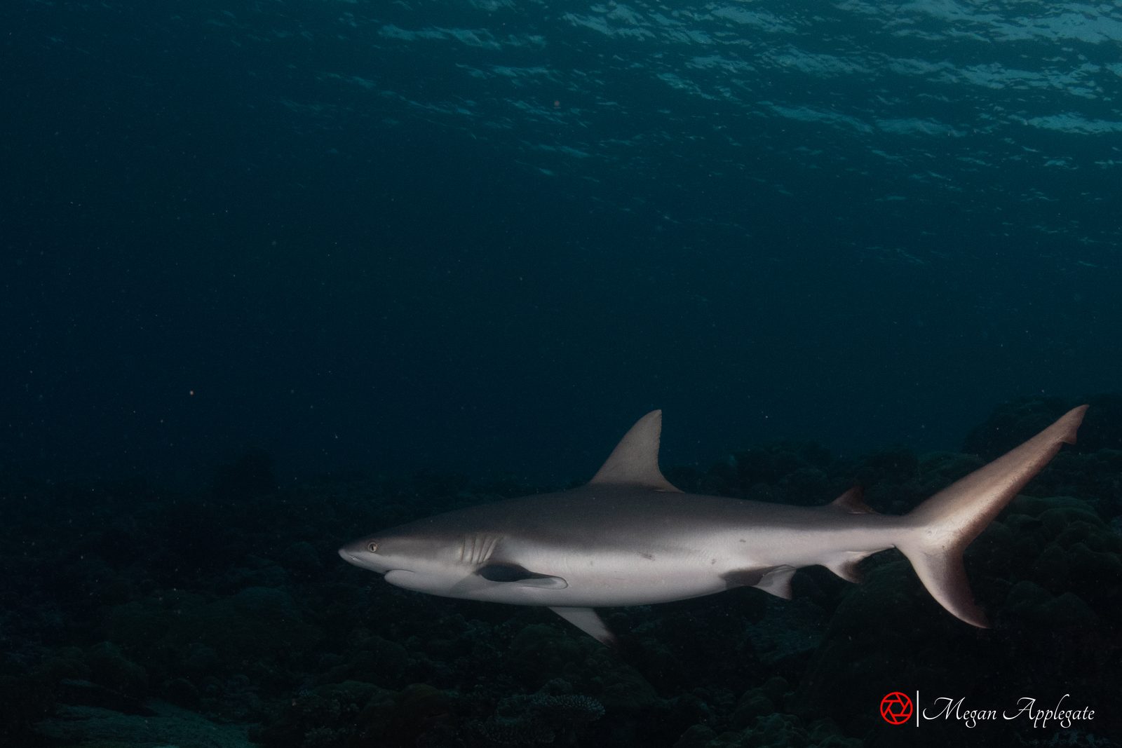
Reef sharks are seen all year, often more from June to September (Dive The World).
Grey reef sharks have been filmed feeding on bait balls around December off the east side of Nggatokae (ISRA Gatokae).
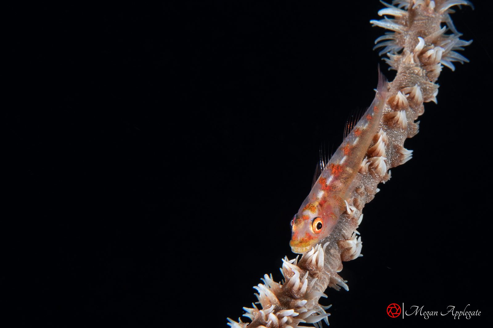
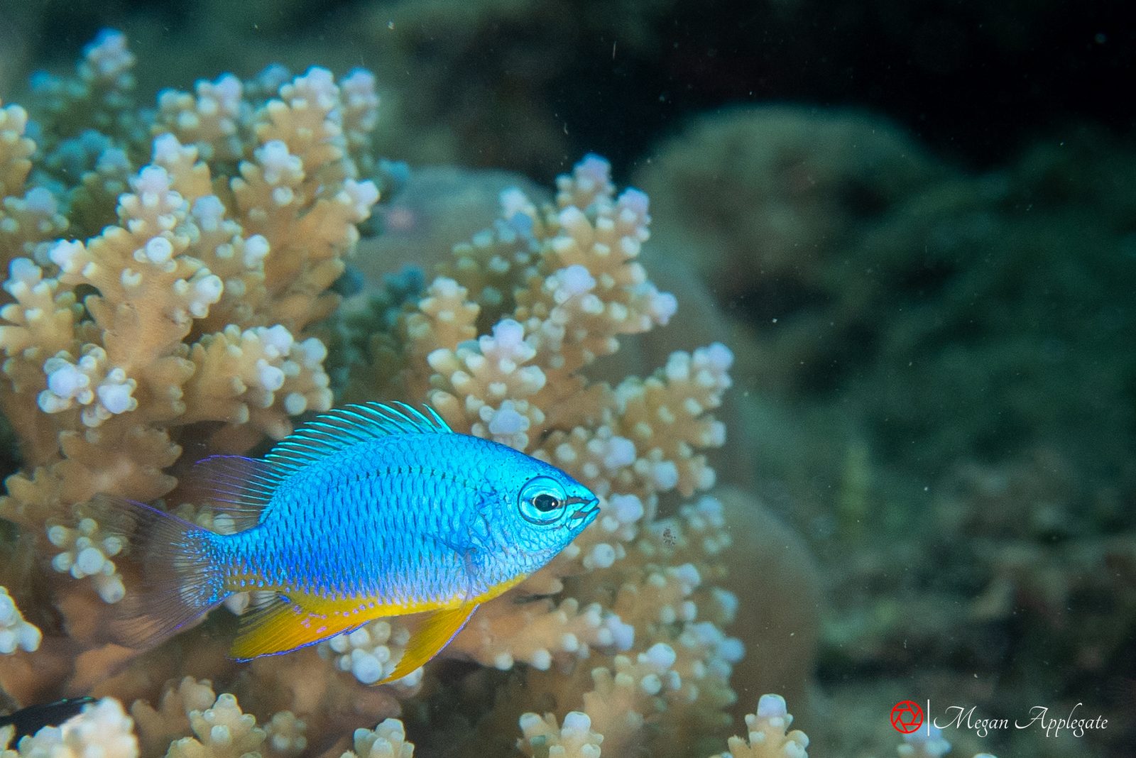
Photo Megan Applegate (Solomon Islands)
Six animals divers meet in the Solomons, with the mark that gives each away. The species pages have the full notes and sources.
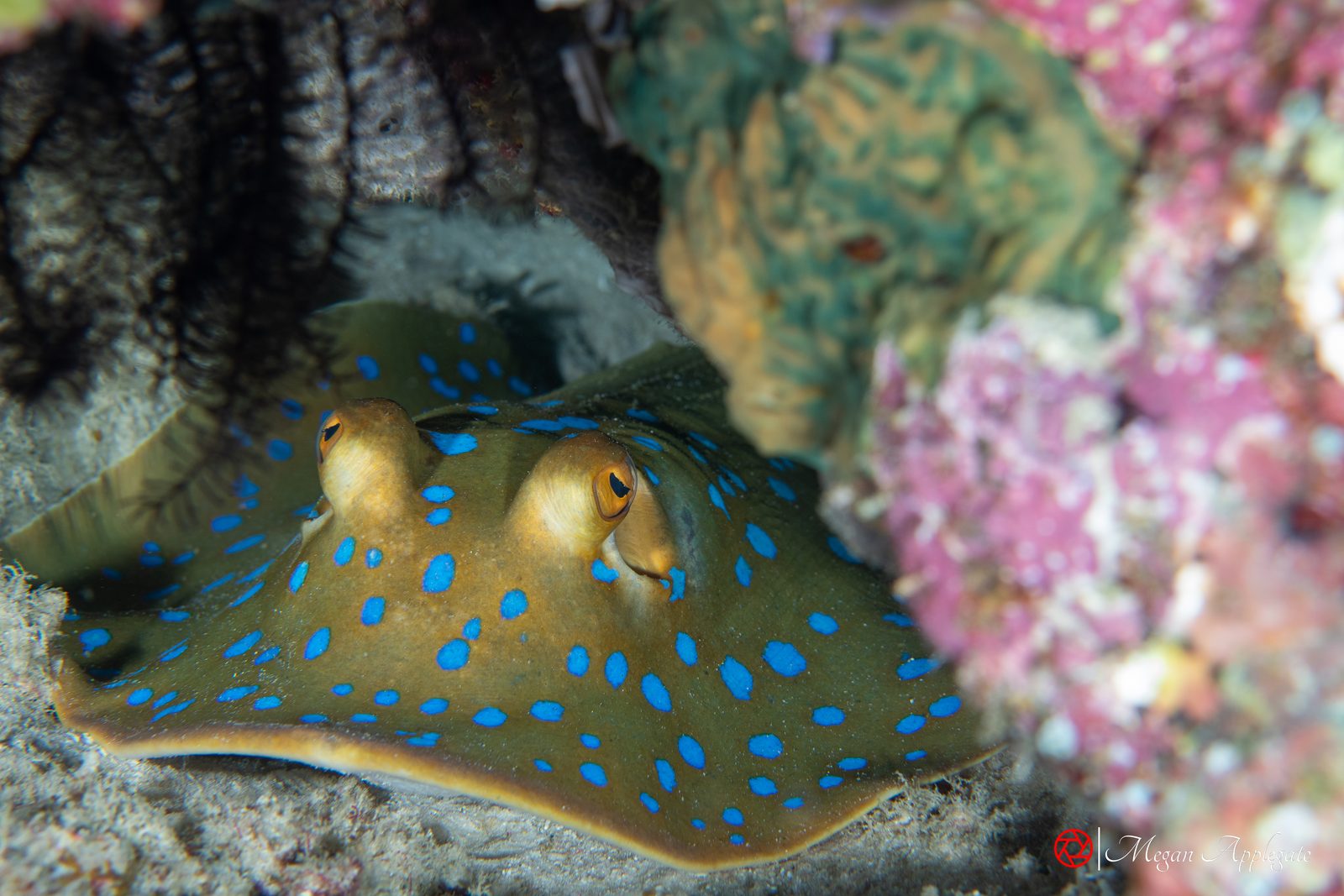
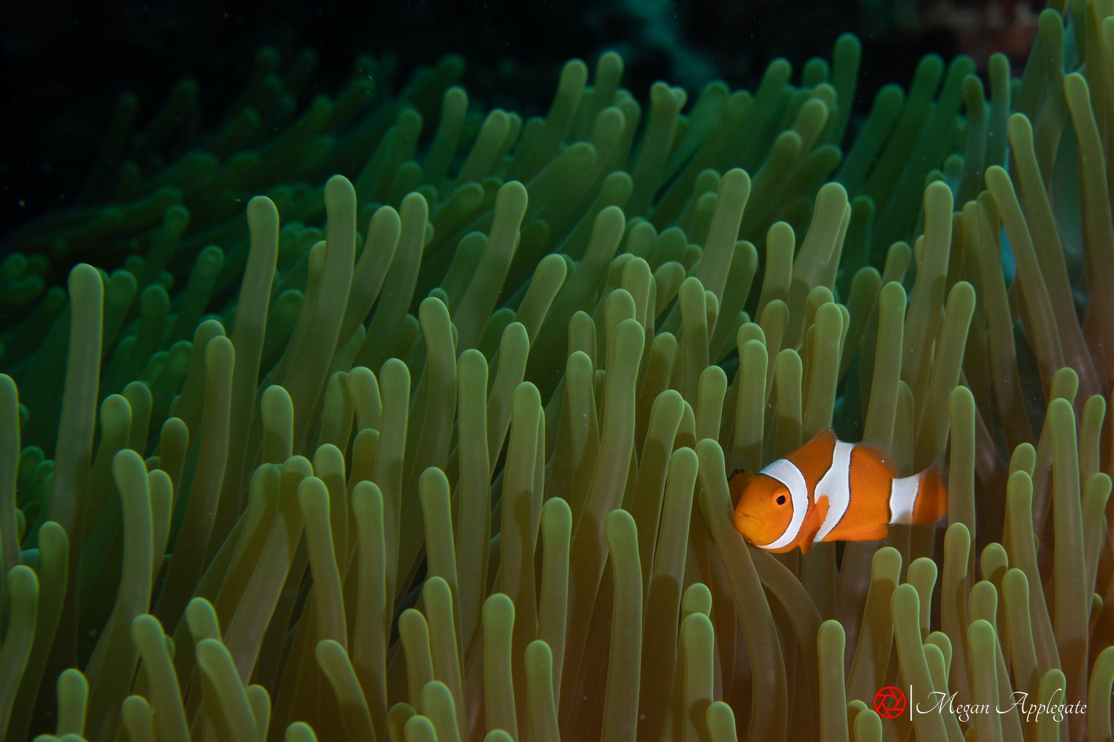
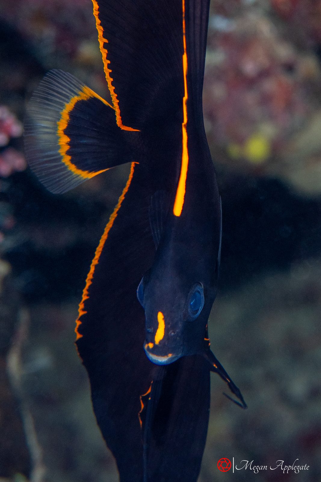
From Pacific Wrecks, the ISRA factsheets, Dive The World, PADI, DAN and Divernet. Individual dives vary.
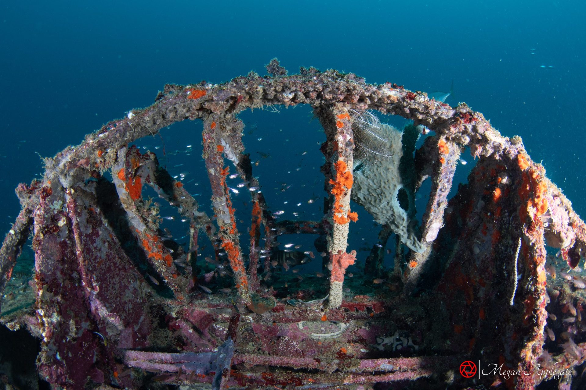
Japanese flying boats sunk at their moorings on 7 August 1942; Mavis 5 sits upright at 27–34 m with its cockpit intact.
Source: Pacific WrecksA pinnacle from 60 m to 12 m with two lava tubes running down to about 35 m; grey reef sharks, tuna and anemonefish.
Source: Dive The WorldA manta colony: 10 or more reef mantas of 3–5 m feeding on a good day.
Source: Dive The World; PADIJapanese transports beached in November 1942, walked into from the beach within half an hour of Honiara.
Source: Pacific Wrecks; PADIA canyon that runs into the middle of an island, with a sandy floor at 12 m and a cavern; the photo at the top of this page was taken there.
Source: PADI; Dive The WorldA cave into a jungle pool with archerfish; and a WWII dump of trucks and jeeps at 5–30 m with mandarinfish.
Source: PADI; Indo Pacific Images; Dive The WorldBarracuda Point, Jack Point and Ben’s Point: schools of barracuda and bigeye jacks, bumphead parrotfish, sharks and turtles.
Source: Dive The WorldGrey reef sharks on the point and at the jetty, blacktip newborns in the shallows, and a reef manta cleaning station in the passage.
Source: Divernet (Uepi); ISRA Charapoana PassageWalls covered in gorgonians with grey reef and whitetip sharks; lava-tube swim-throughs at Mbulo.
Source: Dive The World; ISRA GatokaePhotos
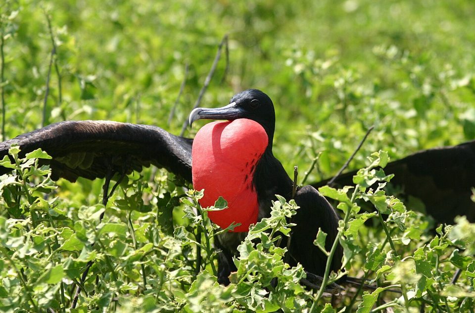
Photos marked “Megan Applegate” were taken in the Solomon Islands in September 2025, except a few species she photographed in Palau, Socorro or Cocos Island, which are labelled. The frigatebird is a reference photo credited on the Birds page.
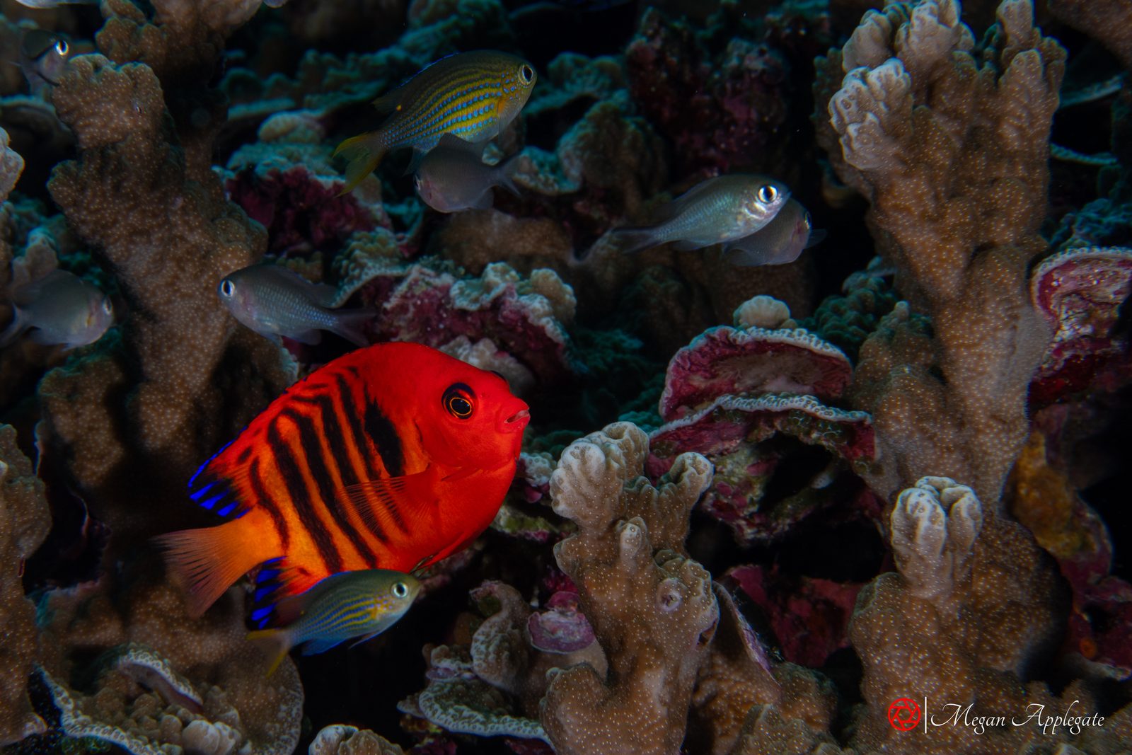
Photo Megan Applegate (Solomon Islands)
Every link opens in a new tab. Each species page cites its own sources as well.